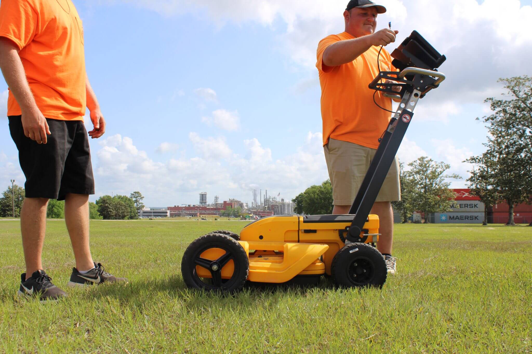
Subsurface Utility Engineering (SUE) is the process of identifying and labeling underground utility mains and lateral service lines. Having subsurface utilities located during the survey and before the design and construction will significantly reduce the chance of conflicts and change orders.
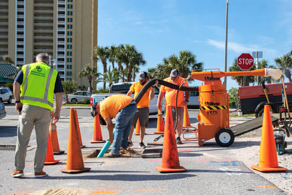
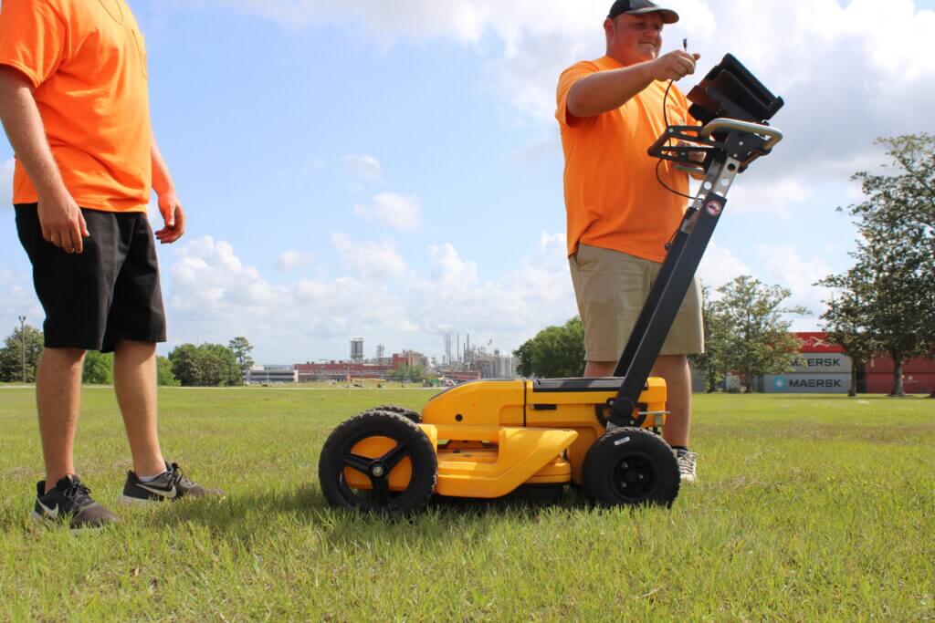
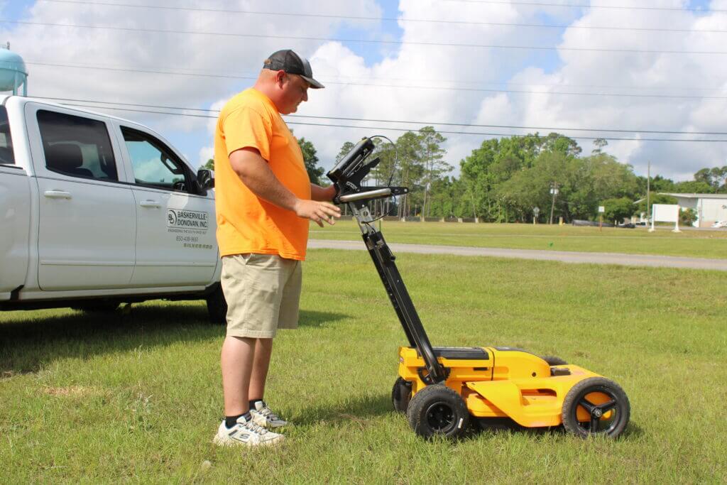
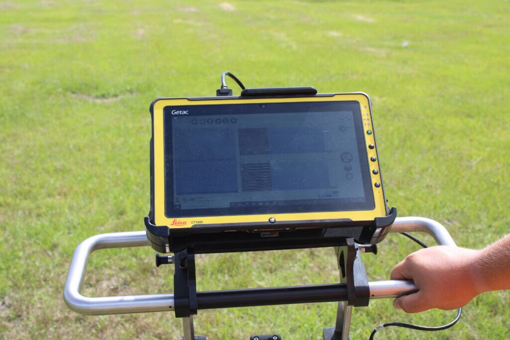
At Baskerville-Donovan, Inc., we depict and define the existing utilities in accordance with the American Society of Civil Engineers ASCE 38-02 and employ several techniques depending on the client’s accuracy requirements. The vast majority of projects with specific SUE requirements are performed at Quality Level A or B as defined in the CI/ASCE 38-02 standard. Our field technicians bring into play a combination of locators along with ground-penetrating radar (GPR) and our Utilivac non-evasive excavation process to accurately determine both the horizontal and vertical location of the utilities.
Standard of Care
The American Society of Civil Engineers (ASCE) has developed an important standard of care guideline, Standard Guideline for the Collection and Depiction of Existing Subsurface Utility Data, CI/ASCE 38-02.
This standard guideline describes four quality levels of utility depiction:
Quality Level D – Information derived from existing records or oral recollections.
Quality Level C – Information obtained by surveying and plotting visible above-ground utility features and by using professional judgment in correlating this information to Quality Level D.
Quality Level B – Information obtained through the application of appropriate surface geophysical methods to determine the existence and approximate horizontal position of subsurface utilities.
Quality Level A – Precise horizontal and vertical location of utilities obtained by the actual exposure and subsequent measurement of subsurface utilities, usually at a specific point.
