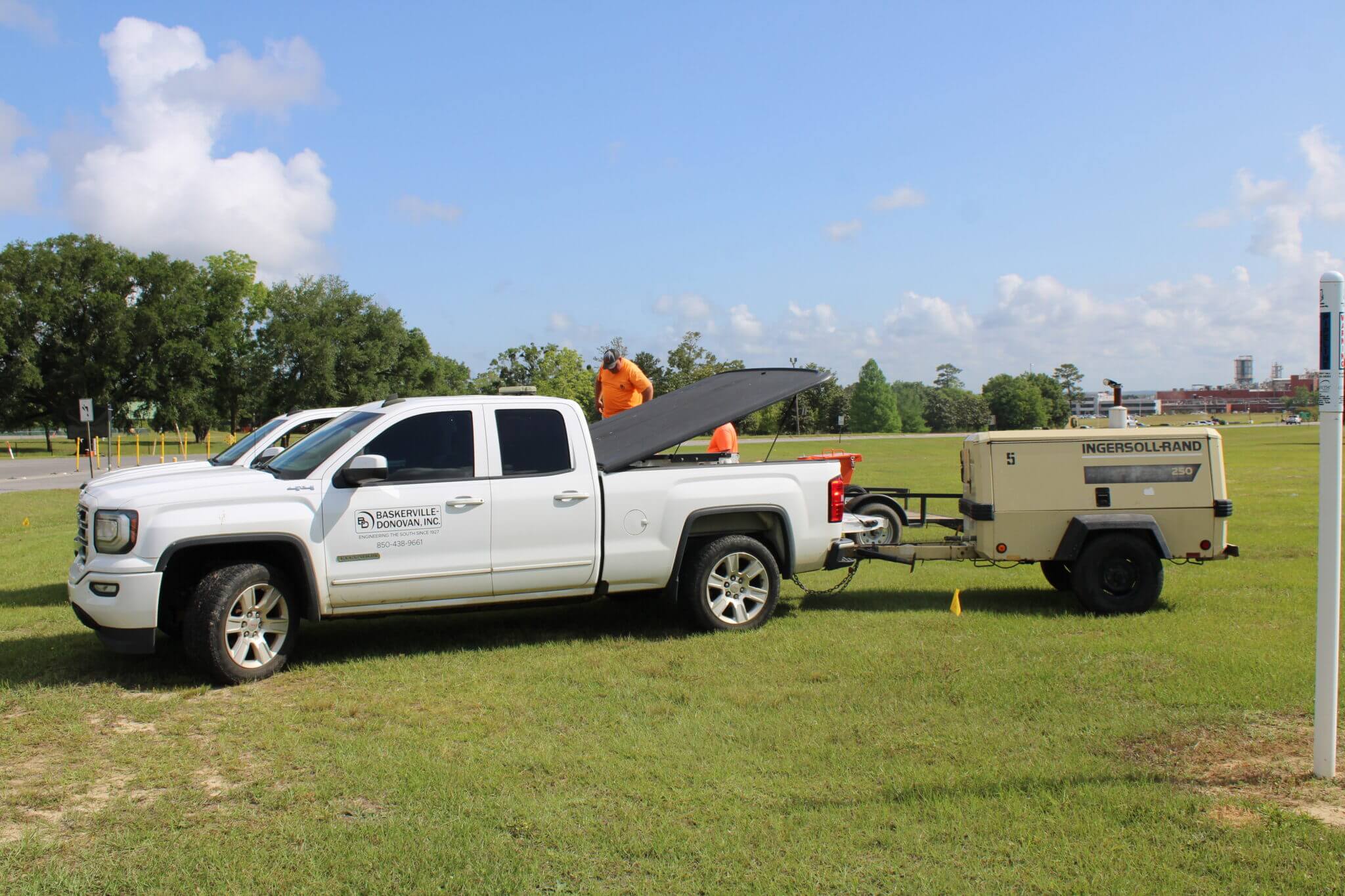
At BDI, we bring over nine decades of professional land surveying experience to every client we serve.
We excel in all aspects of surveying, from single-family residential properties to complex industrial sites. Our surveying services provide the essential data needed for the successful planning and development of a wide range of projects.
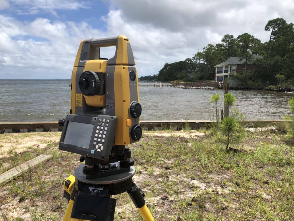
Our typical clientele includes residential and commercial subdivisions, shopping malls, port facilities, utility companies, and federal and state agencies. These clients recognize our ability to deliver accurate, cost-effective, and timely solutions tailored to their specific needs.
Through the application of the latest technology and state-of-the-art equipment, we offer the following services:
- Jurisdictional Mapping & Mean High Water Surveys
- Commercial & Residential Developments
- Right-of-Way & Design Surveys
- Topographic Surveys
- Geodetic Surveys
- Boundary Surveys
- Construction Control Surveys
- Subsurface Utility Engineering

David Lee, PSM
Survey Market Director
dlee@baskervilledonovan.com
Areas of Expertise
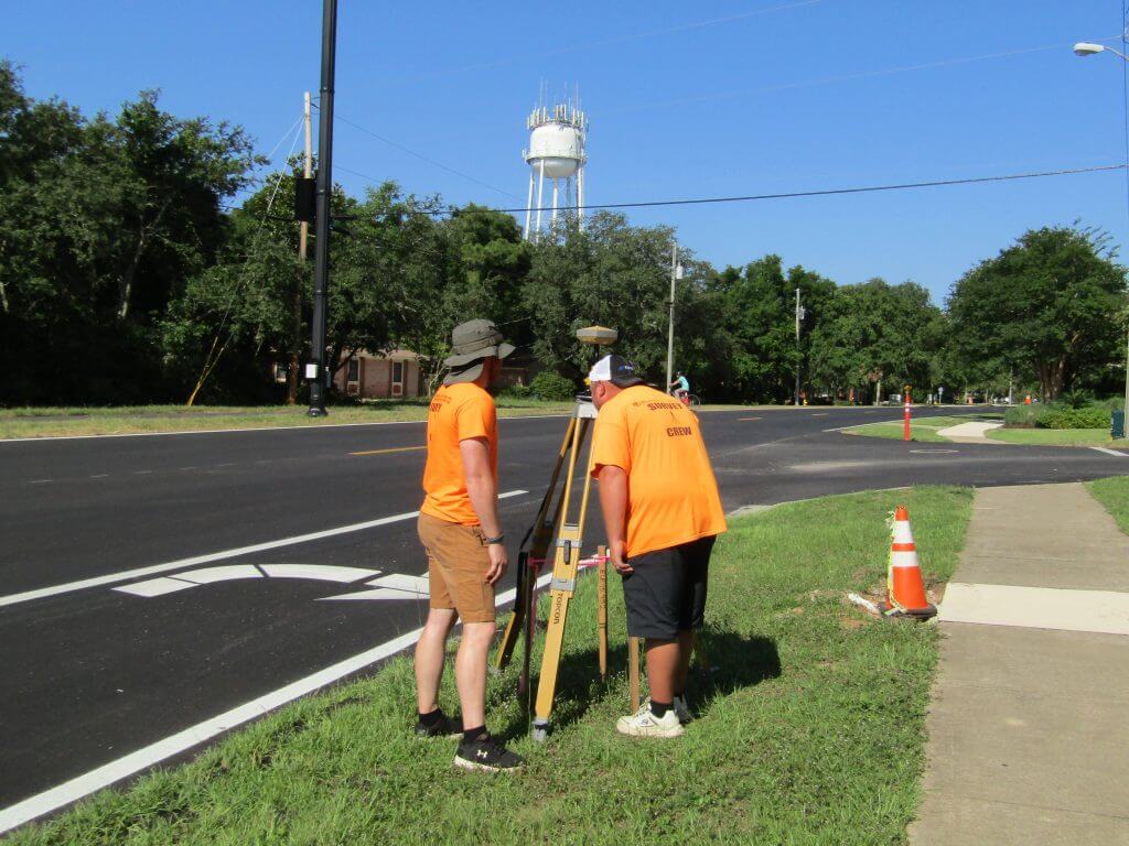
GPS
BDI was one of the pioneering firms in the Southeast to adopt GPS (Global Positioning System) technology in our surveying practices. As GPS technology has advanced over the years, our surveyors have remained at the forefront of this essential service. Our commitment to cutting-edge surveying and mapping technologies ensures that we are equipped to deliver the most accurate and cost-effective products and services available in the industry today.
UAV (Drone) Services
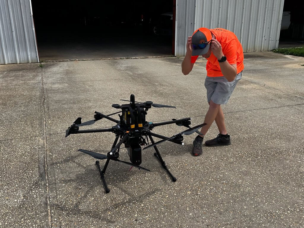
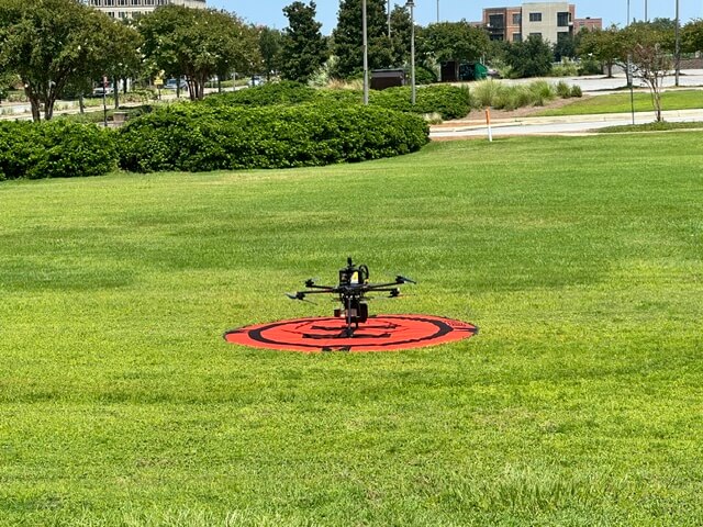
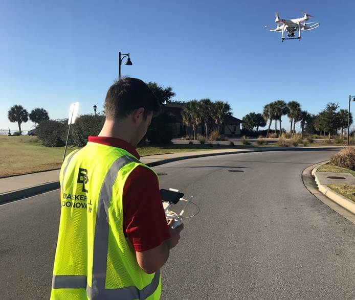
Our fleet of UAVs, operated by licensed pilots, captures real-time aerial imagery and video at every phase of construction—pre-construction, during construction, and post-construction. This advanced technology enables us to gather detailed spatial data from hard-to-reach or hazardous areas, enhancing traditional data collection methods. The precision and versatility of UAV technology ensure we deliver accurate, high-quality insights to support your project from start to finish.
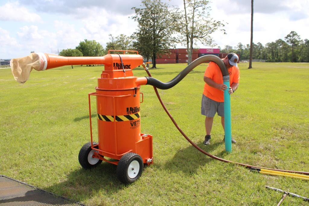
Subsurface Utility Engineering
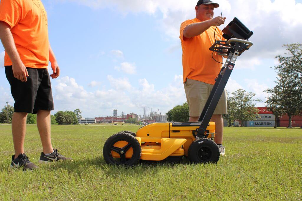
Subsurface Utility Engineering (SUE) involves identifying and labeling underground utility mains and lateral service lines, including electric, gas, water, telecommunications, sewer, storm drains, street lights, site lighting, and irrigation systems. This process applies to new utility installations, upgrades to existing systems, and roadway construction or improvements.
By locating subsurface utilities during the survey phase, before design and construction begin, we can significantly minimize the risk of conflicts and change orders. Striking an underground utility can lead to costly repairs and disrupt essential services, making SUE a critical step in the project development process.
Our Locating, Marking & Mapping Services:
- Underground Utilities
- Water & Sewer Lines
- Gas Lines
- Concrete Pipelines
- Plastic Conduit
- Fiber Optic Lines
- Cable Lines
- Drainage Systems
- Irrigation Lines

